Aircraft
 Pre-Order
Autonomous systems that perceive, decide, and act
About ARC
ARC autonomously launches, navigates, understands the scene, and takes action — without waiting for a pilot to manually execute every step
From call to launch.
How ARC works
01 — Detection
Live aerial context before crews arrive.
02 — Delivery
Lifesaving payloads, delivered fast.
03 — Coordination
Aircraft, operators, and teams in one mission view.
04 — Intelligence
Mission data becomes operational intelligence.
Technology
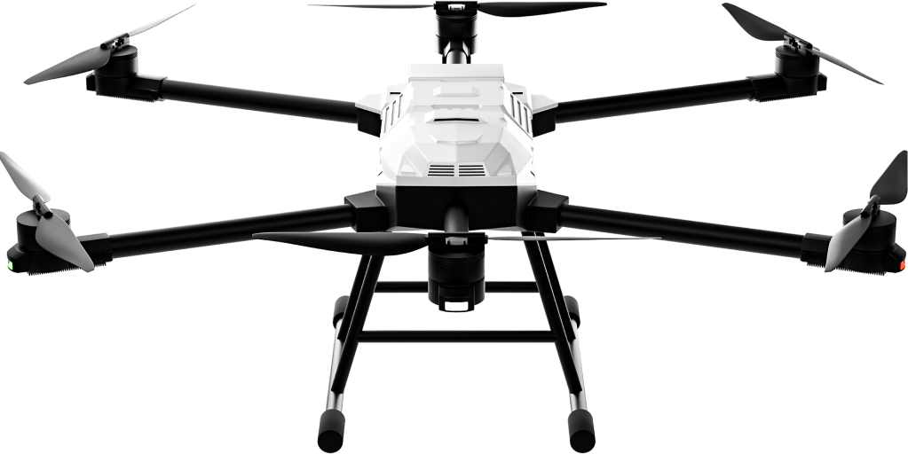
Airis 3
Heavy lift and rapid deployment for response, delivery, and inspection.
Mission control
One live view for aircraft, operators, and mission data.
Autonomy stack
In-house propulsion, flight control, and mission software.
The bigger picture
Deploy drones as first responders. Turn every mission into predictive insight.
Beyond drones as hardware: the nervous system of the low-altitude economy
Solutions
Autonomous response where time and access matter.
Live aerial awareness for police, EMS, and public safety.
Essential payloads, beyond road constraints.
Every mission builds a living data layer.
FAQs
Aircraft, mission control, fleet tools, training, and deployment support.
Police, EMS, logistics, cities, insurers, and infrastructure teams.
Airis 3 is designed to launch in under one minute.
Book a call. We’ll define the right pilot and deployment path.
ARC AERO
The autonomy layer for public safety
U.S.-made, NDAA-compliant aircraft and mission software for first response, delivery, and real-time intelligence.


